Tourismusverband Großarltal

+43 6414 281[email protected]

Easy

Winter hiking path Hüttschlag Karteis to Talschluss

Winter Hiking

7,39 km

02:00 h

51 hm

1041 m

Information

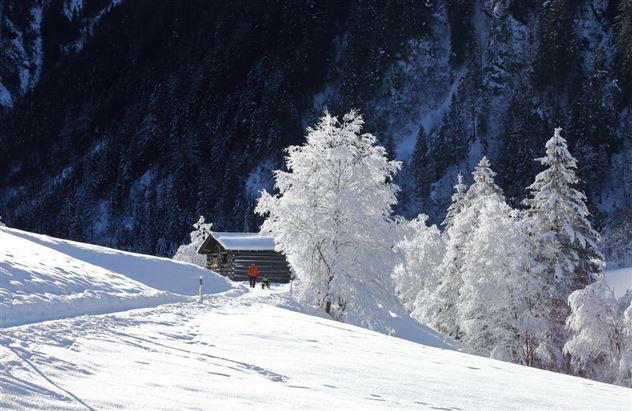
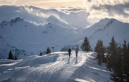
This winter hiking trail starts in the Karteis district of Hüttschlag. From here, the trail leads along the Grossarler Ache to the Aschaustüberl. There you can warm up and fortify yourself before continuing to the end of the valley in Hüttschlag. Once there, you have the option of stopping off

Read more...

Recommended Equipment

winter boots with grip sole

Features & Characteristics

Stamina

Experience

Landscape

Map & Elevation Profile

Arrival

Go by car or Postbus line no. 540 to Hüttschlag as far as the Hüttschlag Karteis bus stop.

Similar Tour Suggestions

Hüttschlag: Karkogel (2,087 m)

Hard

Ski Tour

Ski Touring

6,72 km

04:00 h

1050 hm

2087 m

Hüttschlag: Güterweg Seilsitzberg

Medium

Winter Hiking

5,67 km

02:15 h

302 hm

1350 m

Grossarl: Schiedweg

Medium

Winter Hiking

16,13 km

04:35 h

504 hm

1302 m

Grossarltal: Finsterkopf (2,152 m)

Medium

Ski Tour

Ski Touring

12,20 km

04:00 h

920 hm

2152 m

Hüttschlag: Schöderhorn (2,475 m)

Hard

Ski Tour

Ski Touring

11,12 km

06:00 h

1430 hm

2475 m

Hüttschlag: Plattenkogel (2,273 m)

Hard

Ski Tour

Ski Touring

8,51 km

05:00 h

1230 hm

2273 m

Hüttschlag: Mandlkogel (2,439 m)

Hard

Ski Tour

Ski Touring

9,59 km

06:00 h

1400 hm

2439 m

Hüttschlag: Hubalm

Medium

Winter Hiking

8,44 km

02:50 h

327 hm

1311 m

Österreich
Ski Amadé
Salzburger Land
Nationalpark Hohe Tauern
OSZAR »